CAUGHT

Closed-Area Unlawful Gear & Harvesting Tracker

About CAUGHT

Some of Britain's most protected waters are still being fished. We watch every closed area around the UK from space — and put what we find where anyone can check it.

—cases CAUGHT
—in review
—checked & resolved
—vessels tracked
~440closures watched

Live from the CAUGHT database. See every case on the map →

The sea is big, and mostly unwatched.

Enforcement is real: the inshore authorities and the Marine Management Organisation run vessel tracking, remote electronic monitoring, permit schemes and patrol boats, and they bring prosecutions. But a patrol vessel cannot be everywhere, most of what happens at sea is never witnessed, and very little of what is checked ever becomes public.

CAUGHT gathers the evidence from satellites and vessel trackers and puts it through automated analysis and review, so that a signal which used to take weeks of expert work to assess can be judged in hours — while it is still worth acting on.

We are not a substitute for the authorities, and we don't see what they see. We are a public record that anyone can check and argue with — including the authorities, who have corrected us, and whose corrections we publish.

How it works

  1. 1

    Gather

    Every legally closed area in UK waters — around 440 boundaries, from Shetland to the Channel Islands — watched with live vessel tracking, satellite radar that sees hulls through cloud and darkness, optical imagery and official registers.

  2. 2

    Process

    Raw positions are not evidence. Our algorithms reconstruct what a vessel was actually doing — fishing, or just passing through — from the shape of its track, its speed and how long it lingered.

  3. 3

    Judge

    Every case is assessed against three independent questions and only escalated when all three are answered strongly. A person reviews everything that clears that bar.

  4. 4

    Respond

    The live alarm fires the moment a watched vessel enters a closure. Cases that stand up go to the authorities, checked against official records through freedom-of-information requests. Cases that don't are resolved and closed — on the record.

How fast? The live alarm is immediate for a vessel that is broadcasting its position. Satellite evidence arrives on the satellite's schedule — typically a few days. Full case review runs weekly. Where we have rebuilt a step ourselves, the delay on it has gone from days to minutes. We would rather withdraw a case in public than leave a boat under a cloud it doesn't deserve.

Three questions. The weakest one decides.

Was it fishing — here, and then?

Not merely present, and not passing through. Judged from track shape, speed, working bouts and time on site. Slow, winding tracks have innocent explanations too — creeping into a tidal harbour, waiting on weather, working pots — so movement alone never makes a case.

What gear does this boat actually use?

Established from licence registers, official registries and hand-checked sources tied to the vessel's registration — never guessed from its behaviour.

What was prohibited there, at that time?

Read from the closure's own legal instrument, including gear carve-outs, seasonal windows and tonnage limits.

There is no averaging. If any of the three is unknown, the case stops there. We publish far fewer accusations than our data could support — and every one we do publish, we can explain line by line. A case is a reason to look, not a verdict.

What a case is — and what it isn't

A case is a reason to look, not a verdict. Satellites and vessel trackers have well-known blind spots, and we would rather be corrected than overstate what we can see.

  • CAUGHT — all three questions answered strongly, and checked by a person. Nothing else reaches this state.
  • Review — flagged, but at least one of the three is not established. Each case says which one, and why.
  • Resolved — assessed and dismissed: permitted gear, out of season, a closure that doesn't apply to that vessel, or simply too weak to stand.

Every case carries a printable evidence pack: the vessel, the closure and the law that applies there, the timings, a map — and, deliberately, a section listing what we don't know.

About the film. The film that opens the site shows Britain from orbit at night. Each flash strikes white when something is detected, then turns green (resolved) or red (CAUGHT). It is an artwork: every red light sits on the position of a real CAUGHT case, and many other lights are real detections — but some are illustrative, placed inside real protected-area boundaries so the offshore reserves aren't dark.
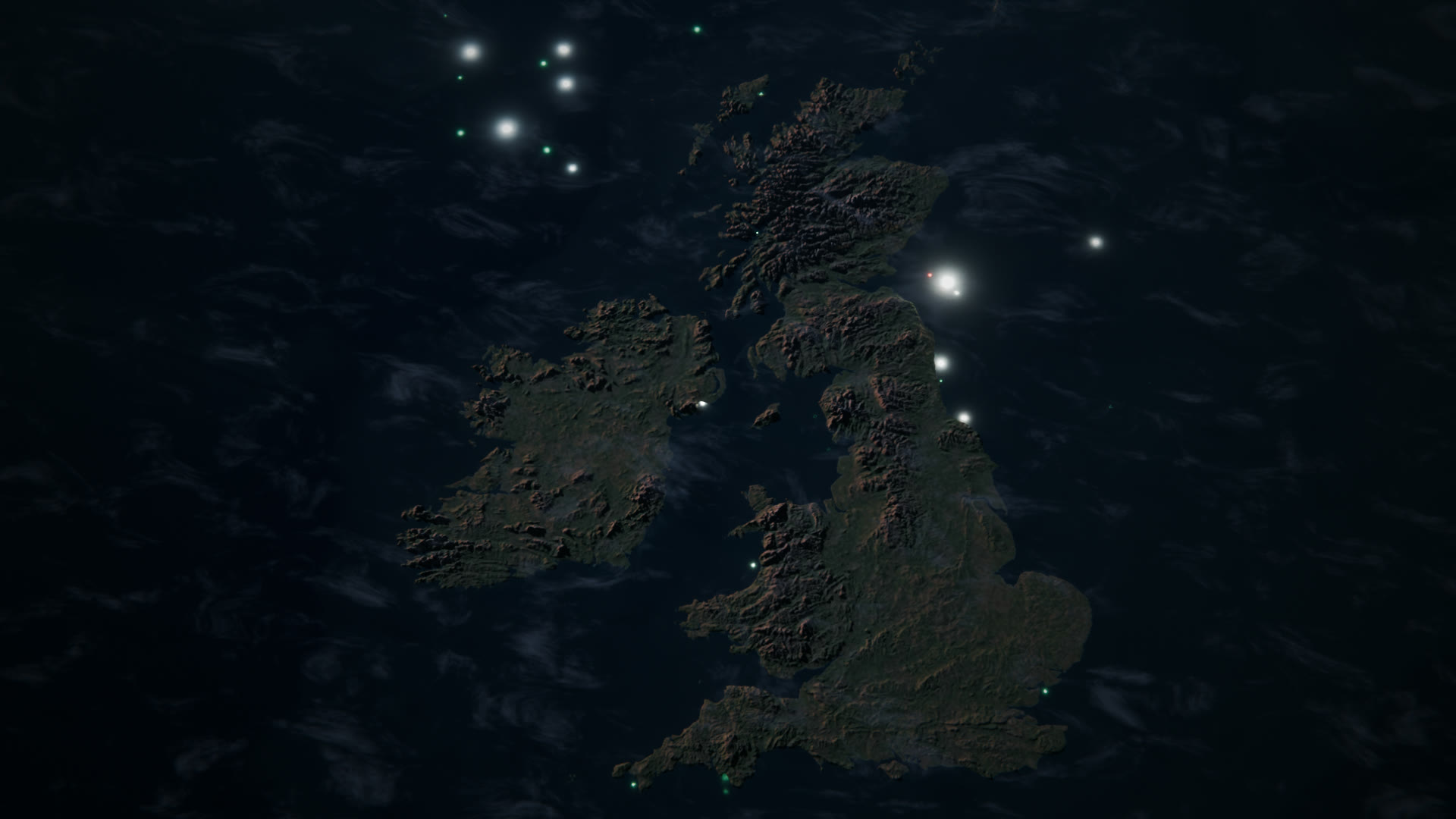
Britain and Ireland from orbit at night, with small lights flashing in the surrounding sea

Cases over time

Cases per day, by where each one stands now. Amber stretching back more than a week would mean the review queue isn't being cleared fast enough.

Loading…

Why closed areas matter

+95%

reef species in Lyme Bay after bottom-towed gear was excluded in 2008 — and fish abundance up nearly 400%. University of Plymouth

10 boats

were responsible for a quarter of all suspected bottom trawling across the UK's offshore marine protected areas. Oceana

£40,000

the penalty in the MMO's first prosecution under its 2023 offshore MPA byelaw (May 2025), built on vessel-tracking evidence. Inshore authorities have brought such cases for far longer: Northumberland IFCA convicted a skipper on satellite-tracking evidence for fishing inside a protected area in 2016.

The overwhelming majority of the fleet fishes within the rules. This is about a small, repeat-offending minority — and handing the authorities a short, checkable list instead of an ocean of noise.

The bigger problem: most of it is legal.

Everything CAUGHT flags is in a place where a rule already exists. Across most of the UK's marine protected area network, industrial fishing — including bottom trawling and dredging — is still largely permitted. No amount of enforcement fixes that. It takes a change in the law.

So every case on the map has a Write to your MP step: it finds your MP from your postcode and drafts a letter you can edit and send yourself. Sea fisheries are devolved, so where a closure lies in Scottish, Welsh or Northern Irish waters it also points you to your MSPs, Members of the Senedd or MLAs — they can change the rule for that site.

Groups campaigning on this: Greenpeace UK and Open Seas.

Take action

Where our data comes from

CAUGHT combines several independent sources rather than relying on any one of them. We are grateful to all of them, and to the public bodies that publish this material openly.